DGCA-certified · RTK/PPK survey-grade · India and worldwide
Geospatial services for the projects that build India.
Drone survey, LiDAR and photogrammetry for highways, airports, ports, hydro and solar projects. Point clouds, terrain models and contours, accurate to the centimetre against ground control.
- 15 yrs
- 200+
- 1 lakh sq km
- Processed in-house
EPSG:32643 · UTM 43N
GSD 1.8 cm/px
Checkpoint RMSE 0.021 m
- L&T
- Adani Ports
- Tata Power
- Reliance Group
- Sterlite Power
- NHAI
- NHSRCL
- Central Railway
In short
Flying Pixel is a geospatial services company in India. We fly drone survey, LiDAR and photogrammetry missions for highways, airports, ports, hydro and solar projects, then process the data in-house and deliver point clouds, terrain models, orthomosaics and contours in your own EPSG code. Accuracy is reported against independent checkpoints rather than advertised. Fifteen years, more than 200 projects.
Flying survey-grade missions in India
Mapped across corridors, sites and catchments
Enterprise and government projects delivered
Survey-grade aircraft in the fleet
Figures are supplied by Flying Pixel and cover fifteen years of operation across India.
Trusted by
Trusted on the projects that move India.
From metro airports to Himalayan hydro, enterprise and government teams hand Flying Pixel the survey the rest of the build depends on.
- L&T
- Adani Ports
- Tata Power
- Reliance Group
- Sterlite Power
- NHAI
- NHSRCL
- Central Railway
- EDF Energy
- Torrent Power
- NHPC
- Aditya Birla Renewables
- Embassy Group
- Takalkar Power
- BL Kashyap
Client names shown with permission. Official logos are added as each client approves them.
What we do
One field team, the full geospatial deliverable.
From the flight plan to the file your engineers open, every step runs in-house. No subcontracted pilots, and your project data is not passed to a third party.
- 01
Drone Survey & Mapping
The full survey, from flight planning and ground control to the file your engineers open.
View capability - 02
LiDAR Survey
Ground level under vegetation, where photogrammetry alone returns canopy.
View capability - 03
Photogrammetry & Aerial Mapping
High-overlap imagery processed into measurable orthomosaics and 3D models.
View capability - 04
Topographic & Land Survey
Contours and terrain models on your datum, with the control report that proves them.
View capability - 05
Inspection & Monitoring
Repeat flights on a fixed path, so month two is comparable to month one.
View capability - 06
GIS & Data Processing
Classification, QA and delivery into the GIS, CAD and BIM platforms your team already runs.
View capability
Sectors we serve
Built for the projects with the tightest tolerances.
Pick your project type. Each sector runs to its own capture plan, accuracy spec and deliverable set.
- 01
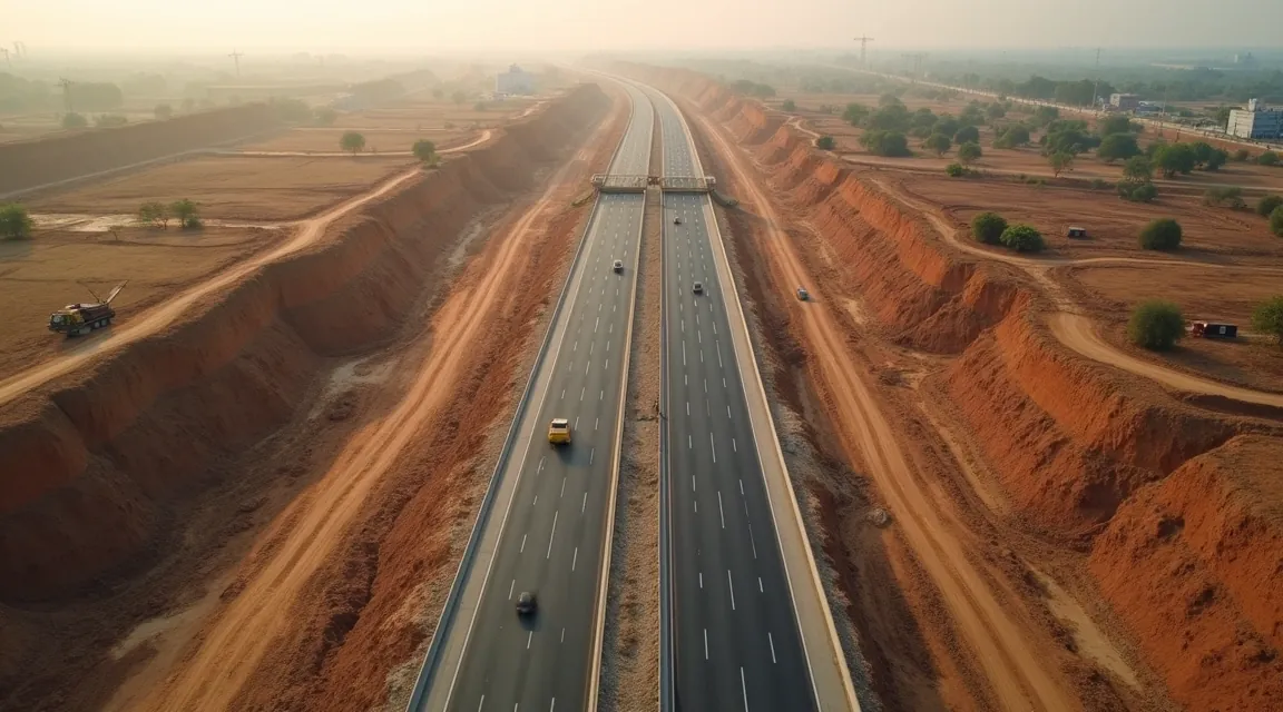
Highways
Corridor surveys, as-builts, earthwork volumes.
 02
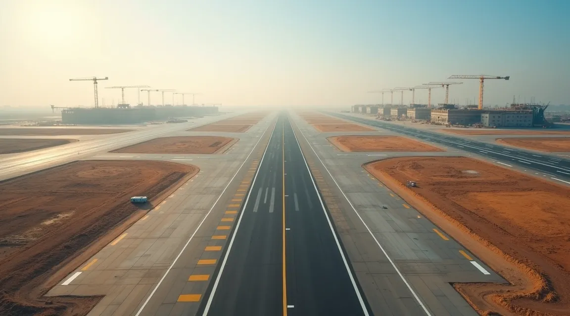
02Airports
Runway and apron mapping, obstacle surveys.
 03
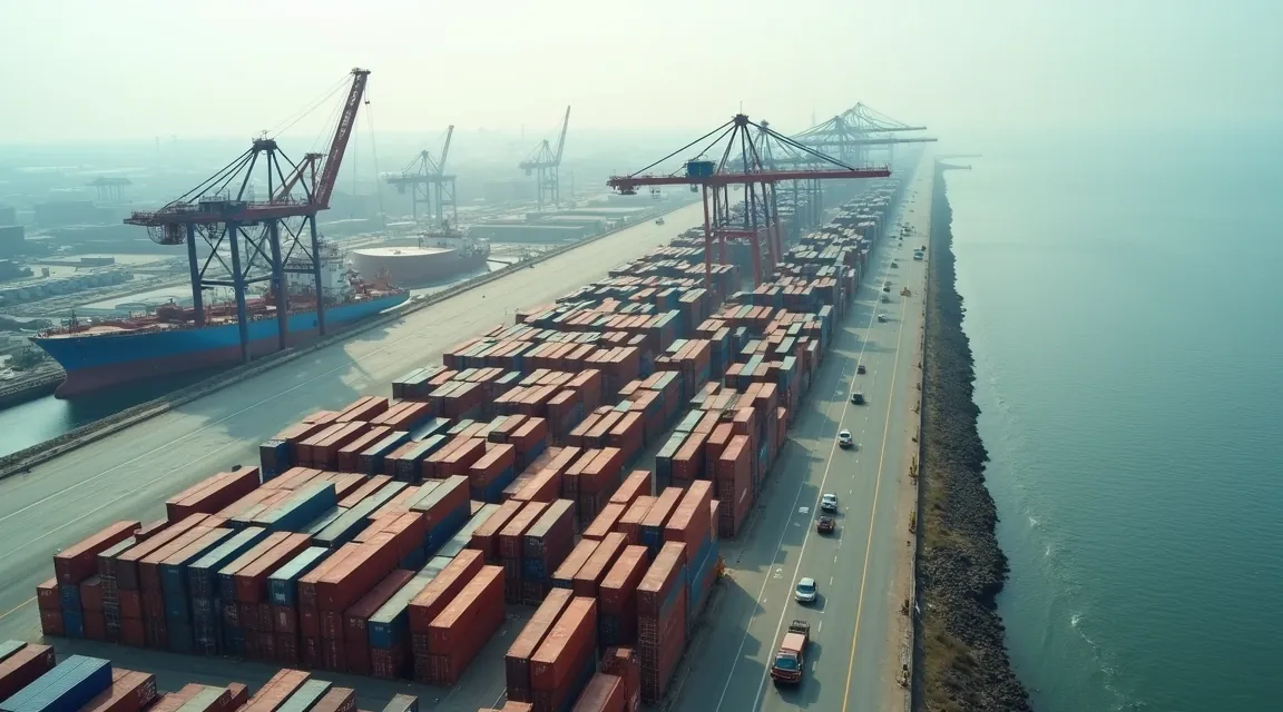
03Ports
Quay, yard and breakwater survey, volumetrics.
 04
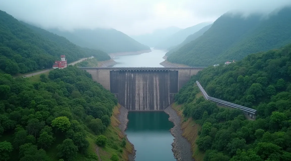
04Hydro-electric
Reservoir, catchment and slope mapping.
 05
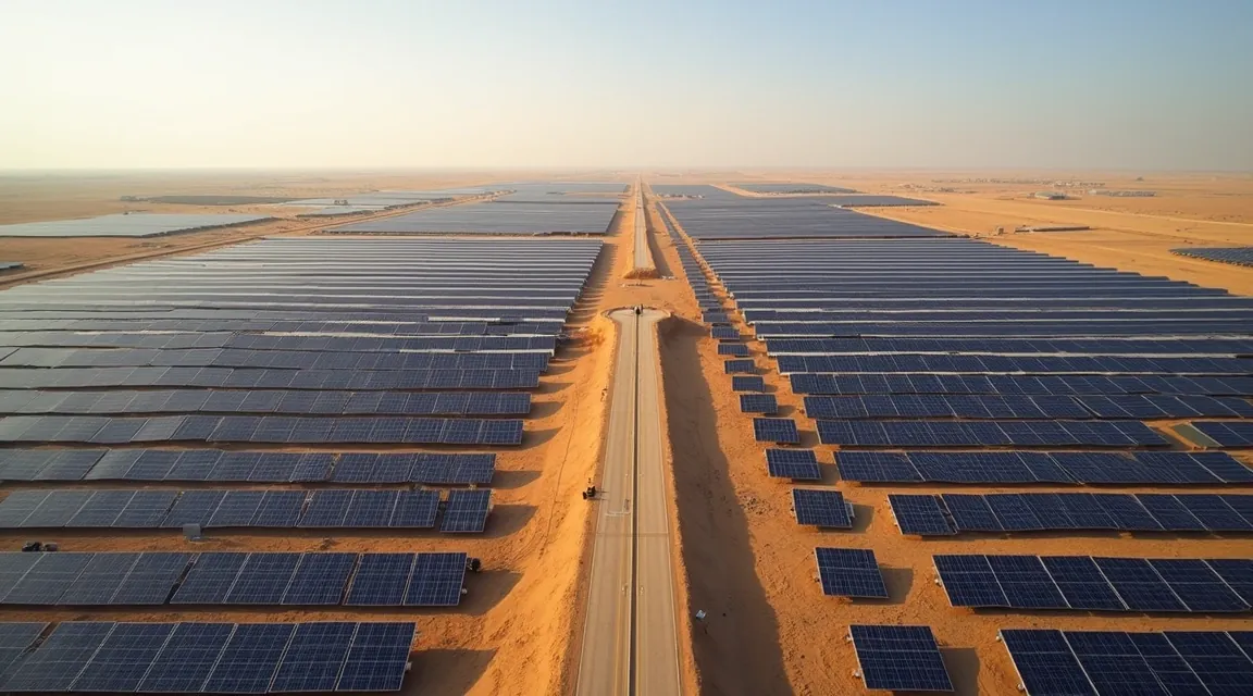
05Solar parks
Site grading, layout checks, thermal scans.
 06
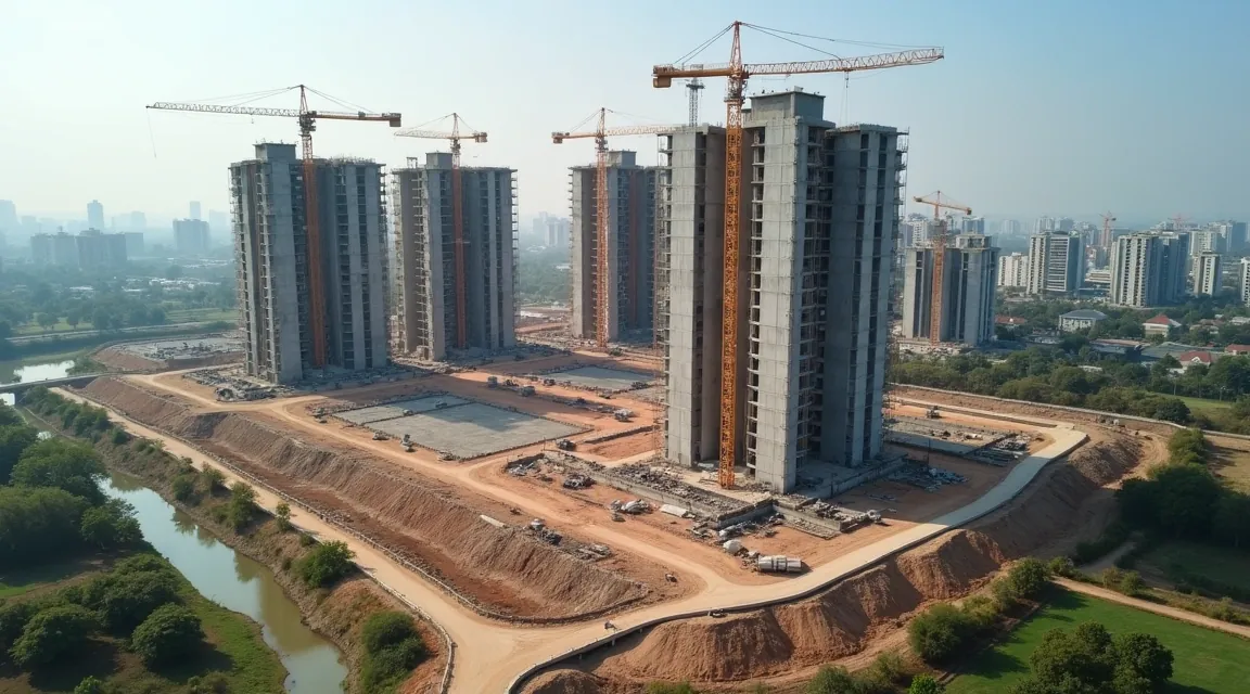
06Real-estate construction
Progress monitoring and 3D site models.
 07
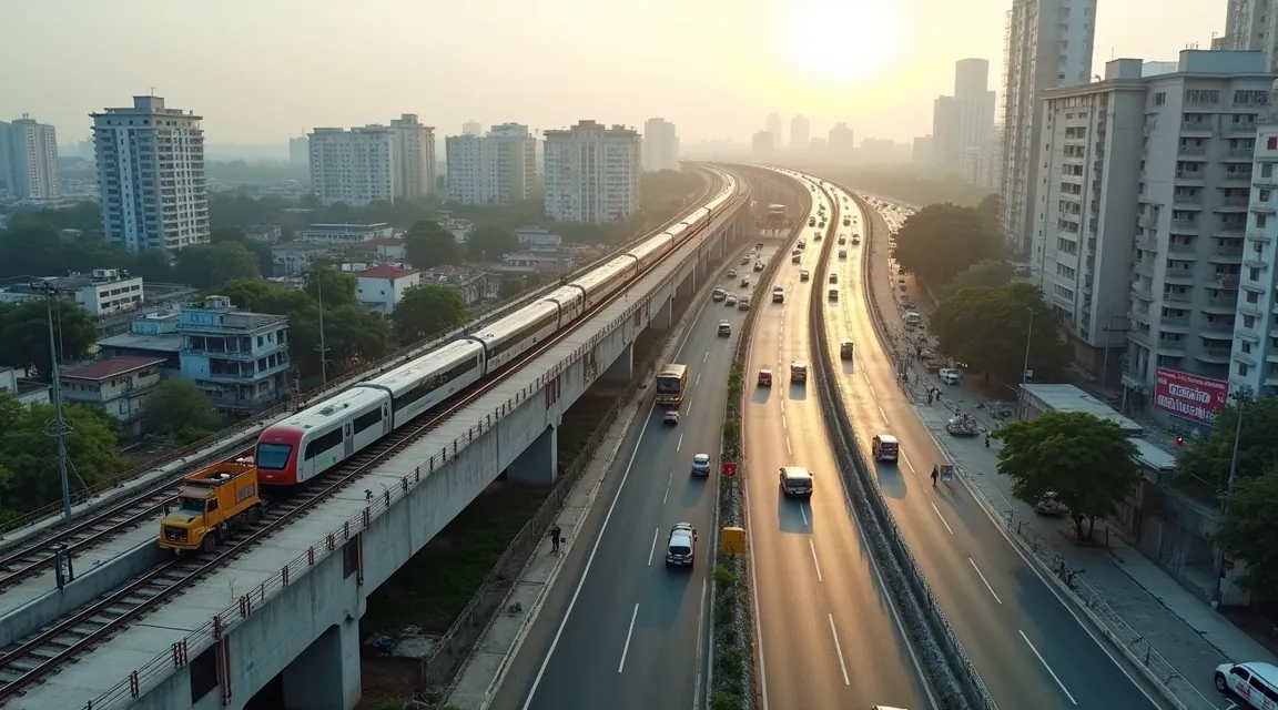
07Government & public
Tender-ready surveys and public infrastructure.
 08
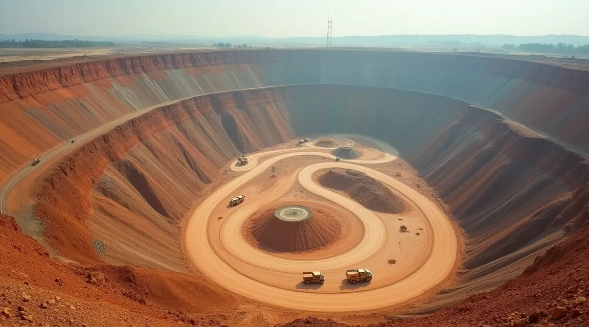
08Mining & energy
Stockpile volumetrics and haul-road planning.
Have a site that needs surveying?
Send the boundary and your accuracy spec. A surveyor replies within one business day with an approach, a deliverable list and a quote.
How we work
From permissions to deliverables, handled end to end.
Five steps, the same on a 60 km corridor and a single site. Nothing is subcontracted.
- 01
Scope and permissions
We confirm the area, the accuracy spec and the deliverable list, then handle airspace clearance and site permissions.
- 02
Control and flight plan
Ground control is laid across the site and the mission is planned to the ground sample distance your tolerance requires.
- 03
Field capture
A two-person crew flies the mission with RTK or PPK positioning, with checkpoints surveyed independently.
- 04
Processing and QA
Processing, classification and checkpoint review run in-house, against your stated tolerance.
- 05
Delivery in your formats
Point clouds, terrain models and contours arrive in your EPSG code and file types, with the control report attached.
On site
What the work actually looks like
Control goes in before the aircraft flies, the mission is planned to your tolerance, and the data is checked against independent points before anything is delivered.
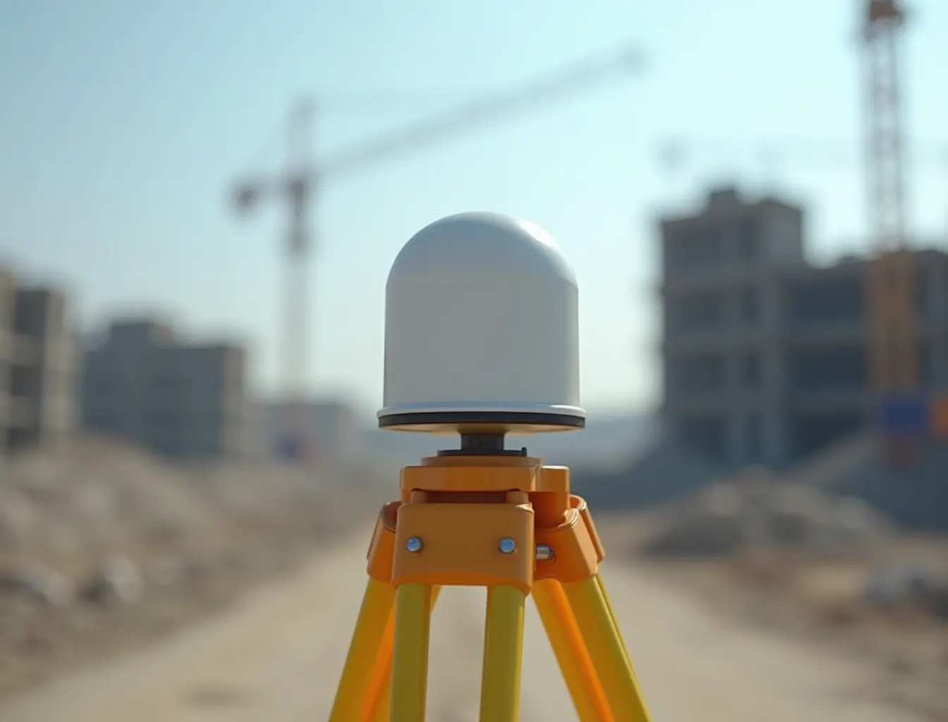
Ground control established and observed before the aircraft leaves the pad. 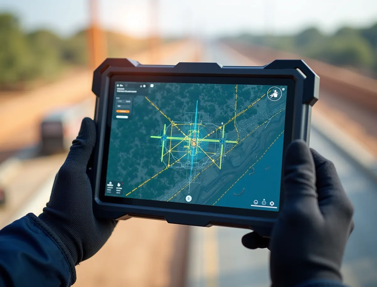
The mission is planned to the ground sample distance your tolerance needs. 
Processing and checkpoint review run in-house, against your stated tolerance.
Deliverables
Data your engineers model with on day one.
You get processed outputs, not a folder of raw images. Orthomosaics, classified point clouds, terrain models, contours and volumes, each tied to your coordinate system and checked against control.
- GeoTIFF
- LAS
- LAZ
- DXF
- DEM
- DTM
- Contours
- OBJ
- KML
- CSV
| Deliverable | Format | Typical use |
|---|---|---|
| Orthomosaic | GeoTIFF | Base map and direct measurement |
| Point cloud | LAS / LAZ | Modelling, sections, clash checks |
| Terrain model | DEM / DTM | Earthwork and drainage design |
| Contours | DXF | Design and CAD handover |
| Volumes | CSV / PDF | Stockpiles, cut and fill certification |
| 3D mesh | OBJ | Visualisation and coordination |
GSD 1.8 cm/px
36,100 pts rendered
How we hold accuracy
Centimetre numbers you can defend in a review.
Accuracy is a method, not a marketing line. This is the workflow behind every figure we put on a deliverable.
- RTK / PPK
Carrier-phase positioning on every flight
Corrections resolve each photo centre to centimetre level before processing starts, rather than trusting onboard GPS.
- GCP
Ground control and independent checkpoints
Surveyed points tie the model to your coordinate system. Checkpoints held out of processing report the accuracy actually achieved.
- 1 to 3 cm
Ground sample distance, planned per deliverable
Flight height and sensor are chosen from the tolerance your design needs, not from a default mission template.
- EPSG
Your projection, your datum, your units
Delivered in the EPSG code your CAD and GIS already run, so nothing needs reprojecting on arrival.
Selected work
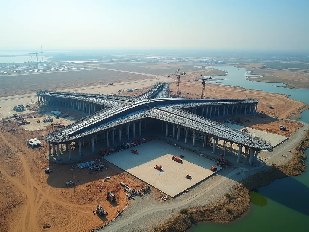
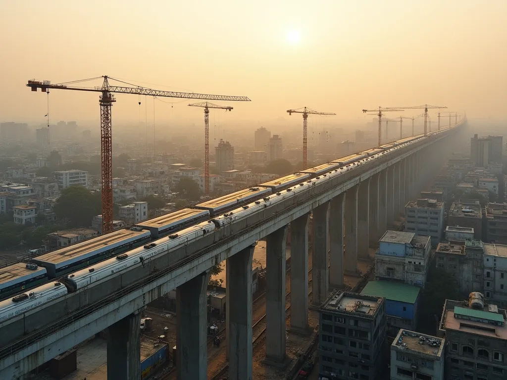
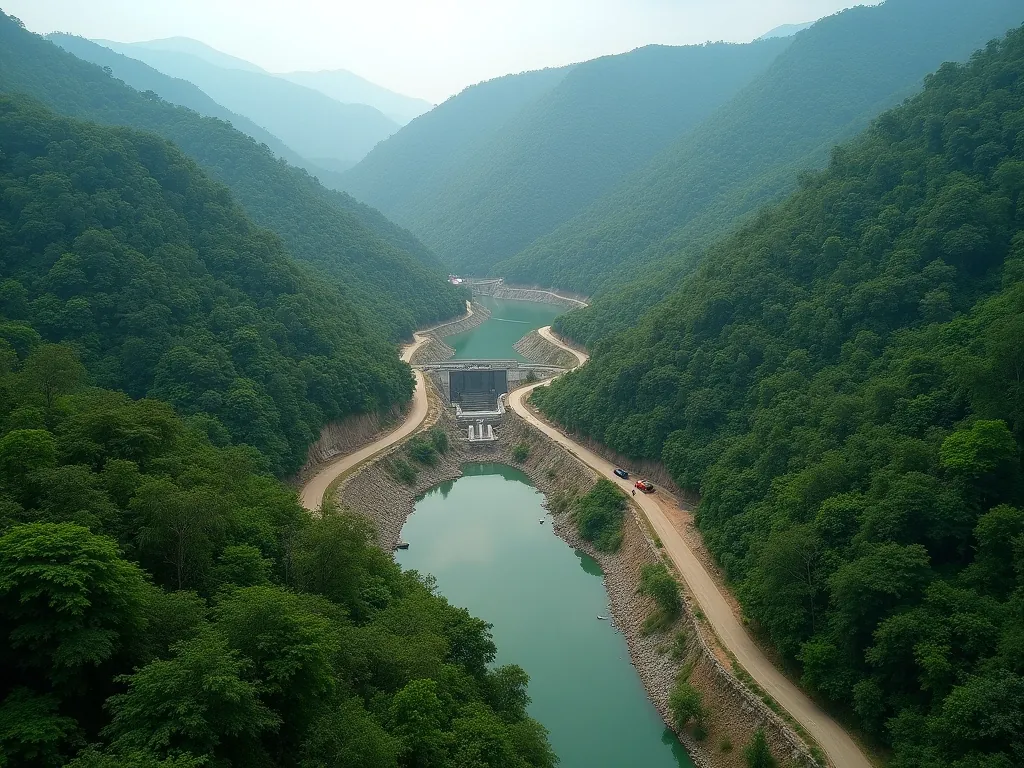
Runways, rail corridors, reservoirs and parks.

Why Flying Pixel
Certified, in-house, accountable.
Six reasons infrastructure and government teams hand us the survey rather than the lowest bidder.
Fifteen years in the field
Fifteen years flying survey-grade missions in India, across roughly 1 lakh square kilometres of corridors, sites and catchments.
Processing stays in-house
Our own team owns the data from capture to delivery. Nothing is subcontracted and project data is not passed to a third party.
DGCA-certified crew
Licensed pilots flying inside Indian airspace rules, with the documentation a public tender asks for.
Accuracy you can defend
Every deliverable ships with the ground control and checkpoint report behind its accuracy figure.
Public and private experience
We work to PSU and government documentation standards as readily as to a developer's programme.
Your formats, not ours
Delivered in your EPSG code, datum and layer convention, so the data opens correctly on the first try.
References
The standards behind these claims
Certification, datum and coordinate system are not things a survey company gets to define for itself. These are the bodies that do.
- Directorate General of Civil Aviation
The authority that certifies remote pilots and sets drone operating rules in India.
- Survey of India
India's national survey and mapping organisation, and the source of the national geodetic and vertical datum work our deliverables reference.
- EPSG Geodetic Parameter Dataset
The registry behind the EPSG codes every deliverable is written to, which is how a coordinate system is stated without ambiguity.
Links checked and confirmed live on 12 August 2026.
Also from Flying Pixel
Weddings, ceremonies and events
The same crew and the same certified pilots cover weddings, mehndi, haldi and sangeet, pre-wedding shoots, maternity and newborn sessions, birthdays and drone light shows. Different work, different site, same people.
Visit Flying Pixel Studio
FAQ
Questions buyers actually ask
If your question is not here, ask it in the enquiry form and a surveyor will answer it.
What is a drone survey?
A drone survey captures a site from the air and turns that capture into measurable data. Instead of walking the ground with instruments, one flight records the whole area at a known accuracy, and processing converts it into an orthomosaic, a point cloud, a terrain model and contours. You measure from a single consistent dataset rather than stitching separate visits together.
How does a drone survey work?
Ground control points are surveyed across the site first. The aircraft then flies a planned grid at a height chosen for the ground sample distance your tolerance needs, recording positions with RTK or PPK correction. Processing ties the imagery or laser returns to that control, classifies the data, and writes the outputs to your coordinate system.
How much does a drone survey cost in India?
Cost follows scope rather than a rate card. The drivers are the area, the accuracy tolerance you need, whether the site demands photogrammetry or LiDAR, how much ground control is required, the number of repeat visits, and the deliverable list. Send the site boundary and your accuracy spec and we will come back with an approach and a quote within one business day.
How much does a drone survey cost per acre?
Per-acre pricing is misleading on its own, because a hundred acres of open ground and a hundred acres of forested slope need different sensors, different flight heights and very different processing effort. We quote on the full scope instead. Area matters, but so do accuracy tolerance, terrain, vegetation and how many times you need the site flown.
Are drone surveys accurate?
Accuracy is a method rather than a number we can promise before seeing a site. With RTK or PPK positioning and surveyed ground control, results are reported against independent checkpoints held out of processing, so you receive the accuracy actually achieved instead of an advertised figure. The control and checkpoint report is attached to every handover.
How much error is acceptable in a survey?
That is set by what the data will be used for, not by a general rule. Earthwork quantities, drainage design and setting-out each carry their own tolerance, and the flight is planned backwards from whichever is tightest. Tell us the tolerance your design needs and the mission is built to meet it, then checked against it.
Are drone surveys worth it?
For large or awkward sites, usually yes. A corridor is long and thin, which is the worst shape for ground survey and the best for aerial capture. One mobilisation covers tens of kilometres at consistent accuracy, and repeat flights turn earthwork claims into measured quantities rather than estimated ones. For a very small flat plot, conventional survey can still be simpler.
What are the disadvantages of a drone survey?
Drones need airspace clearance, they are affected by weather, and photogrammetry alone cannot see the ground through dense vegetation. The last one is the most common surprise on Indian sites. Where canopy blocks the view we fly LiDAR instead, which records multiple returns per pulse so bare earth can be classified out from vegetation.
Which type of surveying is more accurate, drone or total station?
A total station gives higher accuracy on an individual point. A drone survey gives good accuracy across every point at once, which is usually what a design needs. On most infrastructure sites the two work together: ground instruments establish the control network, and the aerial capture is tied to it and checked against independent points.
What do you actually deliver at the end of a survey?
Processed outputs rather than a folder of raw images. Typically an orthomosaic as GeoTIFF, a classified point cloud as LAS or LAZ, a terrain model as DEM or DTM, contours as DXF, volume reports as CSV or PDF, and a 3D mesh as OBJ where it is useful. The control and checkpoint report ships alongside them.
What formats do you deliver in?
GeoTIFF for orthomosaics, LAS or LAZ for point clouds, DXF for contours and linework, DEM and DTM for terrain, OBJ for meshes, and CSV or PDF for volume reports. Everything is written to the EPSG code, datum and units you specify, so it opens directly in your CAD and GIS without reprojection on arrival.
How long does a drone survey take?
Field time depends on the area and the sensor, and processing depends on how much classification the site needs. Rather than quote a general figure, we commit to a delivery date in writing when we quote. Progress-monitoring clients receive their deliverable on a fixed monthly cycle so the programme can plan around it.
Do you handle drone permissions and airspace clearance?
Yes. Scope and permissions are step one of the process. Airspace clearance and site permissions are handled before mobilisation, and the pilots are DGCA-certified, which is the documentation a public tender asks to see. On restricted sites this step drives the programme, so it is worth starting the conversation early.
Who owns the survey data once it is delivered?
You do. Project data stays with our team under clear handling terms for the duration of the work and is not passed to a third party. Processing runs in-house rather than through a subcontractor, so the data does not leave the people responsible for it between capture and delivery.
Can you work outside India?
Yes. Crews mobilise to site internationally, and we also process data captured by a local team to the same accuracy standard and deliver it in your formats. The method does not change with the country: control is established, capture is tied to it, and independent checkpoints report what was achieved.
How do I choose a drone survey company in India?
Ask three things. Can they show named projects with named clients rather than stock imagery. Do they report accuracy against independent checkpoints, or only advertise a figure. And is processing done in-house, since a subcontracted pipeline is where accountability and data control usually break down. Ask for the control report from a past job.
Do you subcontract the flying or the processing?
Neither. The same team plans the mission, flies it and processes the result. That matters for accountability, because when a quantity is questioned there is one team that can explain the control, the checkpoints and the classification behind it. It also means project data is not handed to another company.
What is the difference between an orthomosaic and a normal aerial photo?
A normal aerial photo has perspective distortion, so distances measured on it are wrong. An orthomosaic is corrected for terrain and camera geometry and tied to a coordinate system, so it behaves like a map. You can measure directly on it, and it overlays correctly on your existing drawings and GIS layers.
Can you survey a site that is already under construction?
Yes, and it is one of the most common requests. Progress work flies a saved mission repeatedly so each dataset aligns with the last, which turns a series of site visits into a measurable time series of quantities. Live sites need the flight planned around cranes, working areas and the day's activity.
What information do you need to give a quote?
The site boundary, the approximate area, the accuracy your design needs, and the deliverables you expect. A KML, shapefile or even a marked-up map is enough to start. If you are unsure about the accuracy figure, tell us what the data will be used for and we will work backwards to the tolerance.
Request a survey
Tell us about the site.
Share the location, the area and your accuracy spec. We respond within one business day with an approach, a deliverable list and a quote.
- Deliverables in your formats and EPSG code
- Accuracy backed by ground control and checkpoints
- One team from flight to file